
3rd Grade Maps Pixie
Posted in 3rd Grade, Social Studies
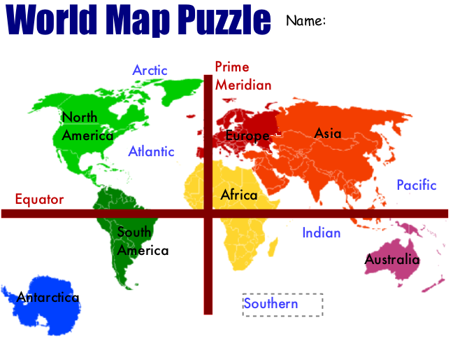 Today third grade students at Laburnum Elementary created maps of the world using Pixie (SOL 3.5). I gave them a template that you can download by clicking here. It’s basically a puzzle with the seven continents in a jumbled pile. First the students have to move the continents around so they are in the correct places. There is a map they can pull up for reference included in the template. Then they click and drag the labels to identify the seven continents and four oceans. Finally they glue all the pieces down and draw the equator and prime meridian using the line tool. You can see the sample by clicking on the picture to make it larger.