
5th Grade Henrico Place Names
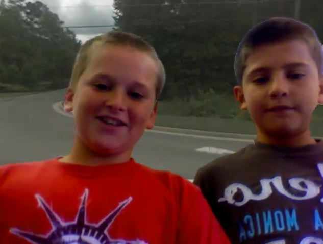 The Henrico History unit in 5th Grade presents a great opportunity for you to try some technology projects with your class. You could make a comic in Comic Life, a slideshow in Keynote, or a podcast in Garage Band. Examples of these types of projects are found throughout my blog. Today at Pinchbeck we made movies about the history of the different street names… and students went to those streets virtually via Google Maps! First partners were assigned a road to research using the Henrico website. Then they went to Google Maps and typed in the name of the road. Once they found it, they located an intersection and went to street view to see if they could get an image of the road with a road sign. They snapped a picture of it using Apple+Shift+4 (snapshots now go into the Documents folder), and used the picture as a background image in Photo Booth. Finally they recorded a video of themselves standing in front of the picture of the road, sharing what they learned about its history. Here’s a great student example about Pouncey Tract Road. And this guy is destined to be a TV announcer. Here’s the sample video I showed the students. If you’d like to download the activity click here.