
4th Grade Virginia Indian Maps
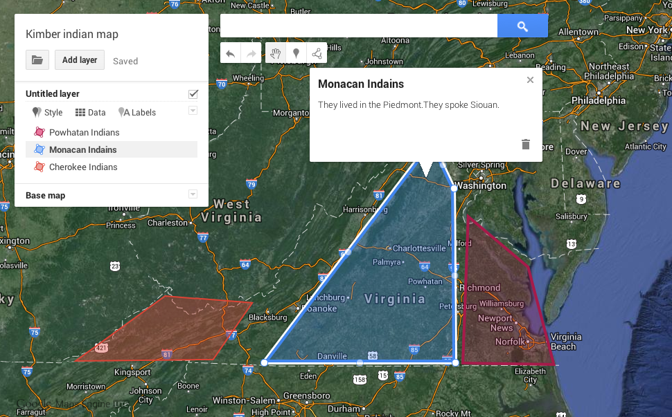 Creating Google maps with students is a great way to teach them about geography and history. Recently Google rolled out some changes that make the process simpler, and they call it Maps Engine Lite. So today I tried it out with the fourth graders in Ms. Anthony’s class at Holladay Elementary who have been studying the Indian tribes of Virginia (VS.2). They created maps showing where the tribes lived and added a description so that when people click on the regions they would be able to see which tribe lived there and what language they spoke. The maps are customizable in many ways. Students can choose different base maps such as satellite or terrain view. They can change the colors of shaded regions and pick different place markers. Each map gets its own link, so students are able to show their parents the maps they made and study at home (or anywhere). Take a look at two student examples: Kimber and Steven.