
3rd Grade Explorers Maps
 Third graders in Ms. Remley’s class at Davis Elementary have been learning about the Explorers (SOL3.3). Today I showed them how to make their own interactive maps using Google Maps Engine. First I let them choose which explorer they wanted to research: Columbus, Cartier, Newport, or Ponce de Leon. Next they placed a marker on the country that sponsored their trip. I showed them how they could change the color of the marker or even the icon itself. We also created a pop-up label for the marker. The students wrote the name of the country and a sentence about the reasons for the voyage, then they added a picture to represent that country. They placed another marker on the final destination and added a similar pop-up label to it. They also drew a line to show the route the explorer took. I showed them how to change the color and size of the line. Finally they customized the look of their map and published it. I posted all their links to a Google Doc that you can take a look at here. UPDATE 3/24/16: I taught a very similar lesson in Ms. Marion’s class at Holladay, but this time we also rounded the length of the journey since they were learning how to round to the thousands place (SOL3.1b). You can see those here.
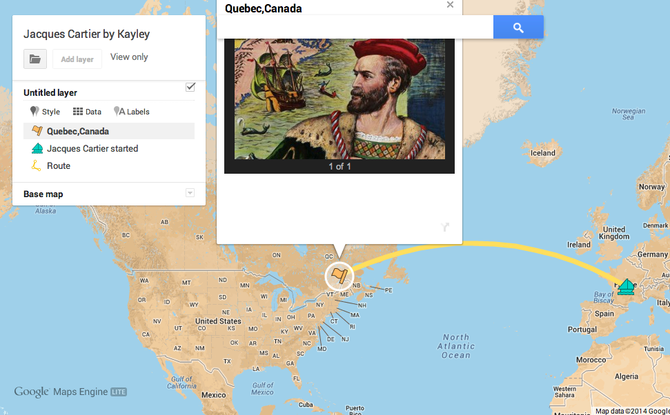